Hiking Mount Nittany: A Must-Do Activity In State College, PA
Hiking Mount Nittany in State College, PA is a great way to experience the beauty of nature and get some fresh air. The hike can take anywhere from 1-3 hours, depending on your chosen route, but it’s worth every step you take.
With views for miles in many directions on clear days, it’s hard not to be impressed by the understated beauty of Mount Nittany! It’s definitely a great hike around the State College area.
We’ve been able to explore and hike Mount Nittany quite a few times over the years, and each time we find something new. Whether we’re looking for wildlife or catching a sunset over the athletic facilities, this is one of our favorite spots to get outside without having to drive too far.
If you’re looking to spend time outdoors hiking with friends or exploring the area, be sure to add hiking Mount Nittany to your to-do list next time you’re in town.

Hiking Mount Nittany: The Quick Breakdown
Mount Nittany Height: 2,077 feet
Location: Centre County, PA
Routes: Multiple, 2-5 miles
Dog Friendly? Yes
Bicycles? No
How long does it take to hike Mount Nittany?
There are multiple trails weaving up, down, and around the top of the mountain. With that being said, you can hike less than 2 miles to the most popular overlook with views of the Penn State University campus and its well-known athletic facilities, or a longer option that covers about 5 miles around the outer edge of the mountain.
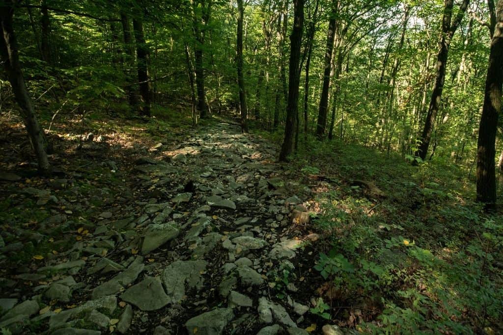
Some of the trail is rocky, which may slow down your hiking pace slightly. Additionally, we suggest allowing time to explore and take in the views at the numerous vistas surrounding the outskirts of the mountain.
With all this in mind, we’d recommend planning 3-4 hours to safely have enough time to cover all the views here.
How hard is hiking Mount Nittany?
The trail to the top, on either path that you decide to travel, is the most difficult part of the hike. Hiking up the blue trail to the left, you will encounter a few fairly steep inclines and no shortage of rocks.
If you choose to hike up the white trail to the right, the rocks are less prominent, but there are plenty of fairly steep inclines! You’ll get a lower-body workout on this stretch, for sure!
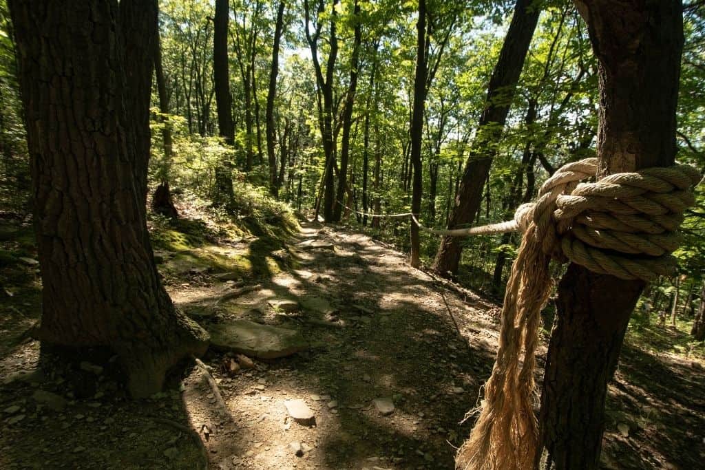
After reaching the top, the trails weaving around the mountain are mostly flat and easy. Just enjoy wandering through nature. The worst is over!
Where should you park for this hike?
From State College, head over to Lemont, a small community just east on Route 26. When you reach East Branch Road, turn left. You’ll see Café Lemont across the street. That’s a great place to stop for coffee or a small bite to eat.
After just a couple of blocks, you’ll want to turn right onto Mount Nittany Road and basically continue to the end.
Parking can be found in a large lot about 100 yards down the street in the opposite direction from the trailhead. There is plenty of signage pointing towards this lot. The coordinates are N 40 48.691’ W 77 48.411’ for those looking to use this type of navigation.
Parking along the street beside the trailhead is much more limited now than it was a few years ago. There are tons of “no parking” signs along much of the short street. We’d suggest just parking in the large lot!
Complete Nittany Mountain Trail Description
To complete this classic hike, you should take in the views at each of the seven overlooks. The trail system is divided into inner white-blazed and outer blue-blazed trails.
Fitting colors, don’t you think?
The seven overlooks include:
- Nittany Mall Overlook
- Tom Smythe Overlook (Station #9)
- Penns Valley Overlook (Station #8)
- Little Flat Overlook (Station #7)
- Boalsburg and Mt. Nittany Middle School Overlook (Station #4)
- Mike Lynch Overlook (Station #3)
- Northwest Overlook (Station #11)
None of the overlooks are separated by more than a mile. In fact, a few of these overlooks are less than 0.5 miles apart! Most of the time, you won’t have to hike far to reach the next view.
By far, the most popular overlook to visit is the Tom Smythe Overlook. This is the spot where you’ll get a great view of Beaver Stadium, parts of the Penn State University Campus, and the town of State College. If you’re looking to only hike to this view and back, the Tom Smythe Overlook is only 0.7 miles from the trailhead. You will, however, be walking uphill almost the entire way, gaining about 600 feet of elevation! This isn’t just an easy stroll in the park.
For the more adventurous, you may want to challenge yourself to see all seven views. That’s right…seven! The outer loop is 4.8 miles in length, starting at the trailhead off of Mount Nittany Road and heading up the blue trail to your left. This leg of the hike will take you through beautiful hardwood trees.
The inner loop is 3.7 miles long, following the white trail as it climbs up and around Mount Nittany. You may see evidence of wildlife as you explore this section – deer tracks and droppings are common sights on the trail.
For the purposes of this guide, we’re going to hike in a counterclockwise direction, and in our opinion, save the best views for last.

From the trailhead signage, take the blue-blazed trail heading to the left. You’ll be able to see the white trail off to your right for a short distance. Commit this to memory for later, as that is the way you will return, eventually.
You’ll hike for one mile prior to reaching the first memorable point. Much of this is uphill, so be prepared! You will also have to cross some quite rocky sections, so if you worry about weak ankles or stubbed toes, then plan your footwear accordingly and wear hiking boots.

About halfway up the hill, you’ll reach a split in the trail, where you’ll need to take the path to the right. If you continue left, you’ll end up on an ATV trail to private land.
You’ll know that you’ve reached the top of the mountain when you come to a crossroads in the trail. There is a clear sign pointing left to the Nittany Mall Overlook and a large pile of rocks in the center of the trail crossing. Head left on the trail towards the overlook.

You may want to head down to the lower rock outcropping for the best views through the trees. Snap a few photos and take in the views of the State College shopping center.

Continuing along the trail, you’ll reach the next overlook in just a few tenths of a mile. This one, the other named for a person, is the Tom Smythe Overlook at Station #9. You’ll find views out over the valley at this vista named for one of the leaders in development work on Mount Nittany. There is also a plaque dedicated to him at this spot.

After taking in the views at these two overlooks, you’ll have a little further to go to reach the next view. After nearly one mile, you’ll come across the next two: Penns Valley at station #8 and Little Flat at station #7.
These are some of the less impressive of the 7 points on the loop, especially during summer when the leaf cover is dense. If you’ve been here before or are short on time, take one of the connector trails to shorten the hike and cut out this section.

The Penns Valley Overlook is one of the most grown-over vistas on the trail. During our most recent mid-September visit, we could only see a red barn off in the distance through a small window in the trees.

At the Little Flat Overlook, you can see the Tussey Mountain Ski Area in the distance. This 50-acre complex is an all-season destination, offering winter sports such as skiing, snowboarding, and tubing, as well as summer activities including putt-putt, go-karts, batting cages, and bike rentals.
Moving along on the trail, keep an eye out for the sign pointing to the next vista. You’ll reach the signpost in 0.4 miles. Turn off the blue trail onto the white trail. You’ll continue on the white trail for 0.3 miles.

The next view is at the Boalsburg and Mt. Nittany Middle School Overlook. This spot offers views down into a picturesque rural valley.
And now, for the 2 grand finale overlooks. Continuing on the blue-blazed trail for 0.4 miles, you’ll then come to the Mike Lynch Overlook. This is by far the most popular and most crowded vista on the trail.
This overlook is also a significant reason why hiking Mount Nittany is a popular activity for visitors. It is also the vista with the most maintenance work done. There are multiple tiers and a primitive bench providing different spots for you to relax and take in the views.

This overlook, since it is generally facing west, is a great spot to take in a sunset over the Nittany Valley.
After spending some time at Station #3, continue on. The rest of the hike will take place on trails with white blazes. It will only be 0.1 miles between this vista and the next station.
Here, you will have to make a decision to take a side detour to the Northwest Overlook at station #11, which is 0.3 miles from the intersection, or take the return trail 0.5 miles down the mountain to the parking area and finish your hike.
We recommend checking out the Northwest Overlook, as it will add just over 0.5 miles to your hike if you head to the overlook and back.

At the Northwest Overlook, you’ll likely have a clear view of the State College airport and its runways in the distance. It’s also the highest overlook in terms of elevation on the mountain.
After taking in the views, head back to the junction you just passed earlier. Turn right at the intersection, following the white-blazed trail. In 0.5 miles, after heading downhill on a wider trail in many sections, you’ll reach the trailhead and end your hike.
Now you’ve done it! Check hiking Mount Nittany off your bucket list!
Final Things to Know Before You Go
Are there restrooms at the trailhead?
There aren’t any permanent flushing facilities anywhere near the start of this trail system.
There is typically a porta-potty located in the parking lot for those last-minute emergencies!
Where can you find a trail map?
There are typically 2 spots where trail maps can be found.
First, if you’re planning this hike and trying to get the lay of the land ahead of time, download this PDF map from the Mount Nittany Conservancy.
If you’d rather have a paper copy, copies of this brochure with maps are sometimes available in a box attached to the informational sign at the trailhead.
The trails are extremely well-marked, though, and signposts with station numbers also include small-scale maps.

Where are the best views on Mount Nittany?
For views of State College and the athletic facilities at Penn State University, the Tom Smythe Overlook is your best bet. There is a bench to sit on while taking in the scenery, as well as multiple tiers for viewing. This can be a great feature if you arrive at the overlook at a busier time.
To see the State College Airport in operation, check the flight schedule before heading to the Northwest Overlook. From this vantage point, you can clearly see the airport grounds, so plan to be able to watch planes navigating the runway.
Is there anything else to be aware of before setting out on this hike?
One final thing to be aware of for planning purposes is that hunting is permitted on Nittany Mountain.
If you’re planning on hiking, especially in the fall, and want to avoid hunters, be sure to carefully check the hunting/trapping calendars for this area. Mount Nittany is in WMU 4D for reference. Wearing fluorescent orange during this time is also necessary.

Other Great Hikes Near State College
Black Moshannon State Park, 30 minutes or so to the northwest, offers 20 miles of hiking trails, as well as the Allegheny Front Trail, a 40+ mile backpacking trail circling the park through the Moshannon State Forest.
35 minutes to the southeast, you’ll find another great state park in Greenwood Furnace. 13.5 miles of trails wind through this park, including a section of Pennsylvania’s 72-mile Standing Stone Trail.
About 30 minutes to the northeast, Bald Eagle State Park offers great wildlife watching and hiking opportunities. There are 14.5 miles of trails in this state park, including a 1.5-mile trail specifically designed and used for butterfly conservation.
Let’s wrap it up!
Hiking Mount Nittany is a great way to get outdoors near State College or while visiting Penn State University. Although the climb to the top is a bit steep, the trails then level out and make for an easy hike on both your legs and lungs.
The trails are well-marked and maintained, making for a very pleasant navigational experience. There are numerous overlooks and plenty of nature to experience outdoors. Keep an eye out for whitetail deer or even a black bear.
This is one hike you should not miss when visiting Happy Valley!
What else would you like to know before heading out to hike Mount Nittany?